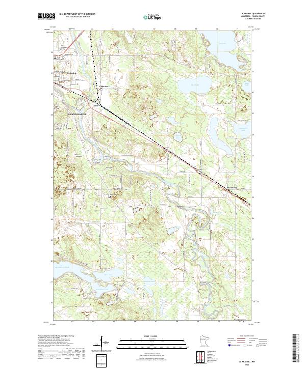
2022 Map of La Prairie
USGS Topo · Published 2022About this map
The Prairie River flows through a landscape of glacial lakes and northern forests, winding south toward the Mississippi River near the established settlements of La Prairie and Coleraine. This modern survey illustrates the proximity of Grand Rapids to smaller outposts like Gunn and Blackberry, reflecting a region defined by its water-rich geography. Educational and commemorative sites are clustered to the north and west, including the campus of Itasca Community College and Itasca Calvary Cem. The terrain is punctuated by significant bodies of water such as Trout Lake, Mud Lake, and Pokegama Lake, which have long shaped the residential and recreational patterns of Itasca County. Local infrastructure is evidenced by the network of county roads and trails, such as the Mississippi River Trl and Prairie River Trl, which follow the natural contours of the river valleys and lake shorelines.
Find a feature on this map
108 named features on this map. Tap any name to fly to it.
Don’t see what you’re looking for? This feature index may not catch every label — zoom into the map to look around manually.
Map Details
Editions of this 2022 La Prairie Map
This is the sole edition of this map. No revisions or reprints were ever made.
Historical Maps of Midway Mobile Home Park Through Time
Featured Locations
- Blackberry, MN
- La Prairie, MN
- Coleraine, MN
- Grand Rapids, MN
- Country Acres Mobile Home Park, Grand Rapids