2022 Map of La Valle
USGS Topo · Published 2022About this map
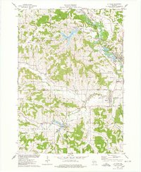
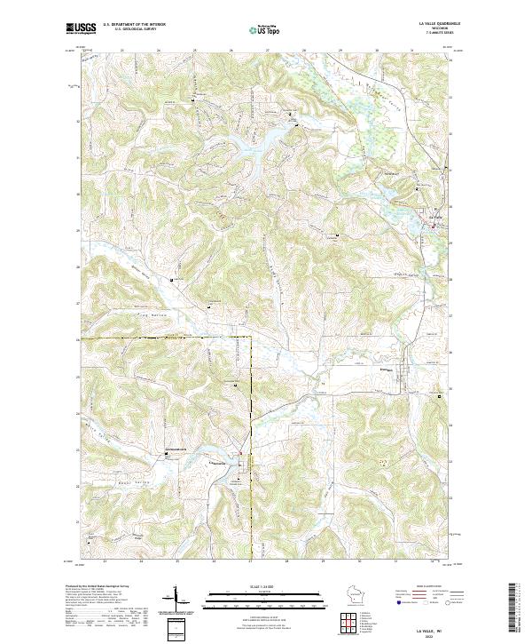
Dutch Hollow Lake dominates the central landscape of this western Wisconsin region, where the Baraboo River winds through a complex series of valleys and ridges. The settlement of La Valle sits at the eastern edge, defined by the La Valle Mill Pond and the river's bend, while the village of Ironton and the community of Cazenovia anchor the southern reaches. This modern survey illustrates how local geography is still defined by family and community history, evidenced by the high density of preserved rural burial grounds such as the Norwegian Cem, Friendswood Cem, and Simon Hill Cem.
Find a feature on this map
132 named features on this map. Tap any name to fly to it.
Don’t see what you’re looking for? This feature index may not catch every label — zoom into the map to look around manually.
Map Details
Editions of this 2022 La Valle Map
This is the sole edition of this map. No revisions or reprints were ever made.