2024 Map of Lafe
USGS Topo · Published 2024About this map
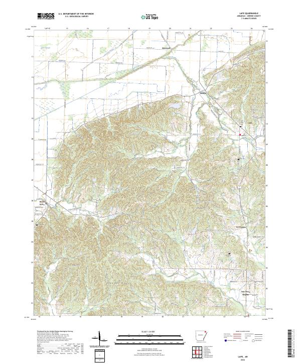
Crowleys Ridge dominates the center of this landscape, creating a distinct topographical rise that dictates the settlement patterns of Greene County. To the north, the terrain transitions into a managed floodplain where the Cache River and man-made channels like Lateral Number 1 and Lateral Number 13 31 navigate the lowlands. This modern survey illustrates the proximity of rural communities such as Lafe, Gainesville, and Beech Grove, which are anchored by long-standing local landmarks including Saint Johns Cem and Lafe Cem. The road network, including Main St in Lafe and various county routes like B Johnson Rd, reflects the continued integration of these agricultural and residential hubs. In the southern reaches, the growth of Oak Grove Heights is evident, situated near the headwaters of Locust Creek.
Find a feature on this map
85 named features on this map. Tap any name to fly to it.
Don’t see what you’re looking for? This feature index may not catch every label — zoom into the map to look around manually.
Map Details
Editions of this 2024 Lafe Map
This is the sole edition of this map. No revisions or reprints were ever made.
