2023 Map of Lake Ann
USGS Topo · Published 2023About this map
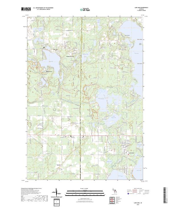
Lake Ann and the surrounding glacial lake district define this portion of the Benzie County and Grand Traverse County border. The village of Lake Ann serves as a primary hub, accompanied by smaller residential clusters like Hardwood Acres and Maple Grove. To the south, the settlement of Bendon and the community of Interlochen anchor the map near the edges of Green Lake and Duck Lake. This region is characterized by a high density of water bodies, including Lake Dubonnet, Ransom Lake, and Bryan Lake, many of which are connected by the winding path of the Platte River. For those researching local lineages, the landscape is punctuated by several burial grounds, including the Lake Ann Cem, Inland Township Cem, Stagecoach Memorial Cem, and Mount Hope Cem, providing clear spatial context for historical families in the Traverse City hinterlands.
Find a feature on this map
172 named features on this map. Tap any name to fly to it.
Don’t see what you’re looking for? This feature index may not catch every label — zoom into the map to look around manually.
Map Details
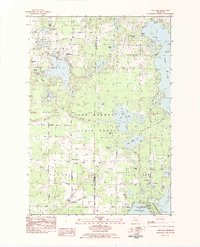
Editions of this 2023 Lake Ann Map
This is the sole edition of this map. No revisions or reprints were ever made.
Historical Maps of Long Lake Charter Township Through Time
Featured Locations
- Green Lake Township, MI
- Long Lake Township, MI
- Interlochen, Green Lake Township
- Hardwood Acres, Almira Township
- Long Lake Charter Township, Long Lake Township