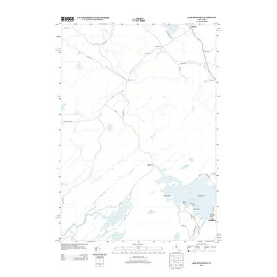
2013 Map of Lake Bonaparte
USGS Topo · Published 2013About this map
Lake Bonaparte dominates this north-country landscape, serving as a hub for local geography and recreation near the settlement of Alpina. The map reveals a complex network of waterways, where the Indian River and Bonaparte Cr flow through a series of smaller basins such as Narrow Lake, Indian Pond, and Bullhead Pond. To the north, the terrain transitions into agricultural and small crossroads communities, including Balmat, Kellogg Corners, and Rices Corners.
Find a feature on this map
53 named features on this map. Tap any name to fly to it.
Don’t see what you’re looking for? This feature index may not catch every label — zoom into the map to look around manually.
Map Details
Editions of this 2013 Lake Bonaparte Map
This is the sole edition of this map. No revisions or reprints were ever made.
Other maps of this area

1911 · Antwerp
USGS Topo · 1:62,500

1912 · Hammond
USGS Topo · 1:62,500

1913 · Lake Bonaparte
USGS Topo · 1:62,500

1915 · Gouverneur
USGS Topo · 1:62,500

1916 · Lake Bonaparte
USGS Topo · 1:62,500

1937 · Gouverneur
USGS Topo · 1:62,500

1944 · Hammond
USGS Topo · 1:62,500

1948 · Ogdensburg
USGS Topo · 1:250,000

1949 · Hammond
USGS Topo · 1:62,500

1949 · Antwerp
USGS Topo · 1:62,500