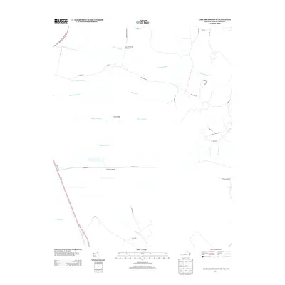
2013 Map of Lake Drummond SE
USGS Topo · Published 2013About this map
The Dismal Swamp Canal anchors the western edge of this coastal plain landscape, representing a historic corridor of commerce and engineering along the Virginia-North Carolina border. In this 2013 survey, the intricate drainage network of the region is evident through a series of numbered waterways including Number One Ditch and Number Four Ditch, which feed into the meandering Northwest River. These channels reveal the extensive efforts to manage the wetlands for timber and agriculture over centuries. Rising slightly above the surrounding marsh are distinctive topographic features like Smith Ridge and Culpeper Island, providing dry ground for local roads such as Ballahack Rd and Ponderosa Dr. The map provides a detailed look at the modern rural residential patterns and water management systems that define this unique environment just south of the state line.
Find a feature on this map
37 named features on this map. Tap any name to fly to it.
Don’t see what you’re looking for? This feature index may not catch every label — zoom into the map to look around manually.
Map Details
Editions of this 2013 Lake Drummond SE Map
This is the sole edition of this map. No revisions or reprints were ever made.
Other maps of this area

1939 · Moyock
USGS Topo · 1:62,500

1940 · Lake Drummond
USGS Topo · 1:62,500

1940 · South Mills
USGS Topo · 1:62,500

1945 · Lake Drummond
USGS Topo · 1:62,500

1946 · Moyock
USGS Topo · 1:62,500

1948 · Elizabeth City
USGS Topo · 1:62,500

1952 · South Mills
USGS Topo · 1:62,500

1953 · Norfolk
USGS Topo · 1:250,000
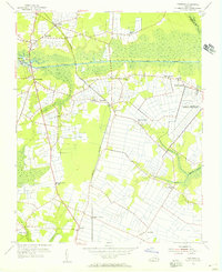
1954 · Fentress
USGS Topo · 1:24,000
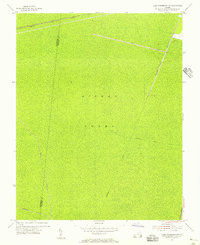
1954 · Lake Drummond NW
USGS Topo · 1:24,000