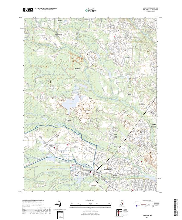
2023 Map of Lakehurst
USGS Topo · Published 2023About this map
Lakehurst Naval Air Center and the adjacent Lakehurst Maxfield Field dominate the central-western portion of this New Jersey landscape, illustrating the significant military footprint in Ocean County. The borough of Lakehurst sits just south of these facilities, centered around the historic Saint John's Church and the Old Saint John's Church Cem. This area serves as a transition between established residential developments and the unique Pine Barrens ecology, characterized by a complex network of waterways including the Toms River, Manapaqua Brook, and the Ridgeway Branch.
Find a feature on this map
40 named features on this map. Tap any name to fly to it.
Don’t see what you’re looking for? This feature index may not catch every label — zoom into the map to look around manually.
Map Details
Editions of this 2023 Lakehurst Map
This is the sole edition of this map. No revisions or reprints were ever made.
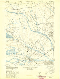
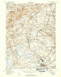
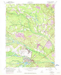
Historical Maps of Ocean County Through Time
4 maps found
Featured Locations
- Jackson Township, NJ
- Lakewood Township, NJ
- Manchester Township, NJ
- Toms River, NJ
- Pine Lake Park, Manchester Township