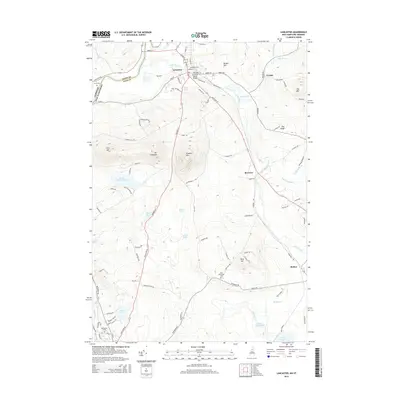
2015 Map of Lancaster
USGS Topo · Published 2015About this map
The Israel River winds through the heart of Lancaster, serving as a central geographic anchor for this Coos County settlement. The terrain transitions from the river valley into a series of prominent peaks, including Mt Pleasant and Prospect Mtn, which define the local horizon. The map details a well-established road network, such as Lancaster Rd and Jefferson Rd, connecting the main town to outlying areas like Grange and Riverton.
Find a feature on this map
100 named features on this map. Tap any name to fly to it.
Don’t see what you’re looking for? This feature index may not catch every label — zoom into the map to look around manually.
Map Details
Editions of this 2015 Lancaster Map
This is the sole edition of this map. No revisions or reprints were ever made.
Other maps of this area

1893 · Mt. Washington
USGS Topo · 1:62,500

1896 · Mt. Washington
USGS Topo · 1:62,500

1900 · Whitefield
USGS Topo · 1:62,500

1920 · Guildhall
USGS Topo · 1:62,500

1930 · Percy
USGS Topo · 1:62,500

1931 · Guildhall
USGS Topo · 1:48,000

1933 · Guildhall
USGS Topo · 1:48,000

1934 · Percy
USGS Topo · 1:62,500

1935 · Whitefield
USGS Topo · 1:48,000

1935 · Mt. Washington
USGS Topo · 1:62,500