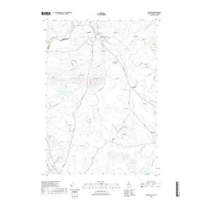
2018 Map of Lancaster
USGS Topo · Published 2018About this map
Lancaster sits at a geographic crossroads in Coos County where the Israel River joins the Connecticut River at the Vermont border. This modern topographic survey shows the town’s development concentrated near the Mechanic Street Bridge and along major routes like Portland St. Beyond the town center, the landscape is defined by significant elevations such as Mt Pleasant and Prospect Mtn, the latter protected within Weeks State Park. The southern portion of the quadrangle transitions into a complex wetland system featuring Little Cherry Pond and Cherry Pond, which are critical habitats near the small community of Baileys. Local genealogists can locate several historic burial grounds, including Clark Cem and Whitefield Cem, situated along the winding rural roads that connect these scattered North Country settlements.
Find a feature on this map
93 named features on this map. Tap any name to fly to it.
Don’t see what you’re looking for? This feature index may not catch every label — zoom into the map to look around manually.
Map Details
Editions of this 2018 Lancaster Map
This is the sole edition of this map. No revisions or reprints were ever made.
Other maps of this area

1893 · Mt. Washington
USGS Topo · 1:62,500

1896 · Mt. Washington
USGS Topo · 1:62,500

1900 · Whitefield
USGS Topo · 1:62,500

1920 · Guildhall
USGS Topo · 1:62,500

1930 · Percy
USGS Topo · 1:62,500

1931 · Guildhall
USGS Topo · 1:48,000

1933 · Guildhall
USGS Topo · 1:48,000

1934 · Percy
USGS Topo · 1:62,500

1935 · Whitefield
USGS Topo · 1:48,000

1935 · Mt. Washington
USGS Topo · 1:62,500