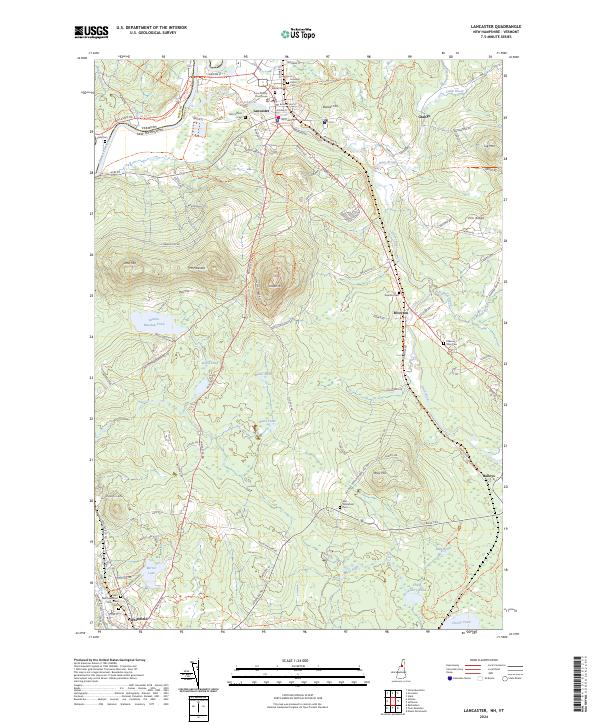
2024 Map of Lancaster
USGS Topo · Published 2024About this map
Lancaster serves as the focal point of this northern New Hampshire landscape, where the Israel River flows through a valley defined by the Coos County Courthouse and a cluster of historic burial grounds including Summer Street Cem and the Old Catholic Cem. The terrain rises sharply to the south toward Prospect Mtn and Mt Pleasant, much of which is preserved within Weeks State Park. The transition from the settled river valley to the more varied highlands is marked by a network of local roads like Brickyard Rd and Riverside Dr, suggesting a history of local industry and river-based transport.
Find a feature on this map
79 named features on this map. Tap any name to fly to it.
Don’t see what you’re looking for? This feature index may not catch every label — zoom into the map to look around manually.
Map Details
Editions of this 2024 Lancaster Map
This is the sole edition of this map. No revisions or reprints were ever made.
Other maps of this area

1893 · Mt. Washington
USGS Topo · 1:62,500

1896 · Mt. Washington
USGS Topo · 1:62,500

1900 · Whitefield
USGS Topo · 1:62,500

1920 · Guildhall
USGS Topo · 1:62,500

1930 · Percy
USGS Topo · 1:62,500

1931 · Guildhall
USGS Topo · 1:48,000

1933 · Guildhall
USGS Topo · 1:48,000

1934 · Percy
USGS Topo · 1:62,500

1935 · Whitefield
USGS Topo · 1:48,000

1935 · Mt. Washington
USGS Topo · 1:62,500