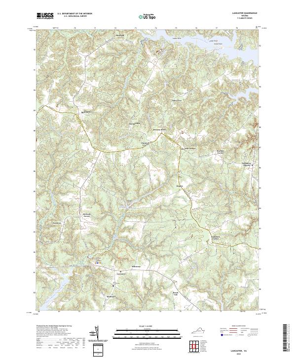
2022 Map of Lancaster
USGS Topo · Published 2022About this map
The Lancaster County Courthouse serves as the focal point for this section of Virginia's Northern Neck, where the landscape is defined by the intricate finger-like reaches of the Chesapeake Bay watershed. The map details a traditional agricultural and maritime settlement pattern, with numerous crossroads communities like Miskimon, Browns Store, and Chestnut Grove linked by historic routes such as Courthouse Rd. The topography is dominated by extensive wetland systems including Bellwood Swamp and McMahon Swamp, which feed into major arterial waterways like the Western Branch Corrotoman River and the Great Wicomico River. The area's social history is preserved through landmarks like Wicomico Church and the Willie Chapel Cem, alongside smaller nodes like Richtown and Brook Vale. These features reveal a region where development has remained tied to the natural drainage of the land and long-standing political boundaries, such as the border between Northumberland and Lancaster counties.
Find a feature on this map
92 named features on this map. Tap any name to fly to it.
Don’t see what you’re looking for? This feature index may not catch every label — zoom into the map to look around manually.
Map Details
Editions of this 2022 Lancaster Map
This is the sole edition of this map. No revisions or reprints were ever made.
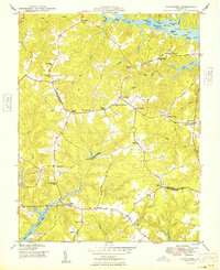
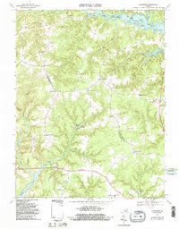
Historical Maps of Oak Grove Through Time
3 maps found