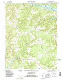
1968 Map of Lancaster
USGS Topo · Published 1987About this map
Lancaster sits at the heart of the Northern Neck in the mid-1960s, serving as a focal point for a landscape defined by its intricate tidewater geography. The map reveals a transition between the agricultural uplands and the deep-cut inlets of the Great Wicomico River and the Eastern Branch Corrotoman River. Small crossroads settlements such as Wicomico Church, Miskimon, and Chestnut Grove are connected by a network of winding local roads, including the notable Sampsons Wharf Road.
Find a feature on this map
44 named features on this map. Tap any name to fly to it.
Don’t see what you’re looking for? This feature index may not catch every label — zoom into the map to look around manually.
Map Details
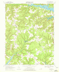
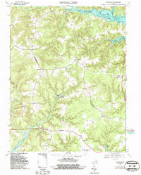
Editions of this 1968 Lancaster Map
3 editions found
Other maps of this area

1916 · Kilmarnock
USGS Topo · 1:48,000

1917 · Heathsville
USGS Topo · 1:48,000

1917 · Urbanna
USGS Topo · 1:62,500

1917 · Morattico
USGS Topo · 1:62,500

1917 · Kilmarnock
USGS Topo · 1:62,500

1918 · Morattico
USGS Topo · 1:62,500

1926 · Morattico
USGS Topo · 1:62,500

1942 · Kilmarnock
USGS Topo · 1:62,500

1943 · Richmond
USGS Topo · 1:250,000
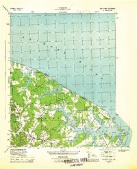
1944 · Sunnybank
USGS Topo · 1:31,680