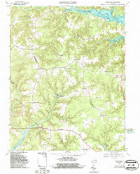
1968 Map of Lancaster
USGS Topo · Published 1987About this map
The Great Wicomico River defines the northern coastline of this Northern Neck peninsula, where maritime and agricultural life converge. The landscape is marked by a network of landings and wharves, such as Sampsons Wharf and Coopers Landing, which served as vital points for commerce and transit before modern road improvements became dominant. Further inland, the map captures the transition from tidal waters to the interior through features like Davis Millpond and Camps Millpond, alongside several named crossroads that served as local hubs.
Find a feature on this map
47 named features on this map. Tap any name to fly to it.
Don’t see what you’re looking for? This feature index may not catch every label — zoom into the map to look around manually.
Map Details
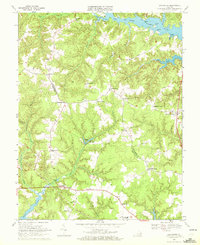
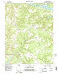
Editions of this 1968 Lancaster Map
3 editions found
Other maps of this area

1916 · Kilmarnock
USGS Topo · 1:48,000

1917 · Heathsville
USGS Topo · 1:48,000

1917 · Urbanna
USGS Topo · 1:62,500

1917 · Morattico
USGS Topo · 1:62,500

1917 · Kilmarnock
USGS Topo · 1:62,500

1918 · Morattico
USGS Topo · 1:62,500

1926 · Morattico
USGS Topo · 1:62,500

1942 · Kilmarnock
USGS Topo · 1:62,500

1943 · Richmond
USGS Topo · 1:250,000
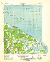
1944 · Sunnybank
USGS Topo · 1:31,680