Loading...
Loading map...2023 Map of Langley
USGS Topo · Published 2023About this map
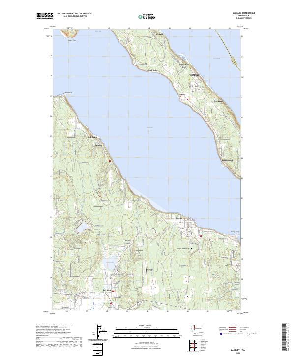
Saratoga Passage separates the residential shorelines of Whidbey Island and Camano Island, defining the geography of this coastal area. On the southern Whidbey shore, the town of Langley serves as a primary hub, organized around streets like E Saratoga Rd and proximal to the Langley Woodman Cem. Moving south toward Bay View, the landscape transitions into a mix of small lakes and wooded tracts, including Lone Lake and Lake Goss.
Find a feature on this map
126 named features on this map. Tap any name to fly to it.
Don’t see what you’re looking for? This feature index may not catch every label — zoom into the map to look around manually.
Map Details
Date Portrayed2023
Date Published2023
PublisherU.S. Geological Survey
Map TypeTopographic
Scale1:24000
Physical Dimensions24 x 29 inches
Editions of this 2023 Langley Map
This is the sole edition of this map. No revisions or reprints were ever made.
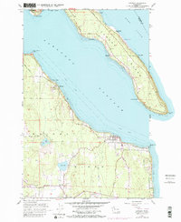
Historical Maps of Saratoga Through Time
Featured Locations
Source Details
SourceU.S. Geological Survey
CopyrightPublic Domain