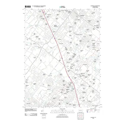
2010 Map of Lansdale
USGS Topo · Published 2010About this map
The Peter Wentz Homestead stands as a significant historical anchor in this Montgomery County landscape, which by the early 21st century displays a dense network of suburban residential developments and preserved open spaces. Numerous church-affiliated burial grounds, such as the Gwynedd Friends Meeting House Cemetery and Boehms Cemetery, remain integrated into the modern fabric of North Wales and Lansdale. The geography is defined by the headwaters of Wissahickon Creek and Stony Creek, where traditional landmarks like Fischers Dam and Mermaid Lake reflect long-standing local water use. Transport patterns center on historic corridors like Sumneytown Pike, connecting older hubs like the Kulpsville Post Office with newer residential clusters like Gwynedd Woods and Madison Ridge. Local aviation is represented by small facilities including Wilson Airport and Wings Field, highlighting the area's diverse infrastructure.
Find a feature on this map
203 named features on this map. Tap any name to fly to it.
Don’t see what you’re looking for? This feature index may not catch every label — zoom into the map to look around manually.
Map Details
Editions of this 2010 Lansdale Map
This is the sole edition of this map. No revisions or reprints were ever made.
Other maps of this area

1888 · Quakertown
USGS Topo · 1:62,500

1890 · Doylestown
USGS Topo · 1:62,500

1890 · Quakertown
USGS Topo · 1:62,500

1891 · Doylestown
USGS Topo · 1:62,500

1893 · Germantown
USGS Topo · 1:62,500

1894 · Quakertown
USGS Topo · 1:62,500

1894 · Norristown
USGS Topo · 1:62,500

1894 · Germantown
USGS Topo · 1:62,500

1895 · Norristown
USGS Topo · 1:62,500

1896 · Germantown
USGS Topo · 1:62,500