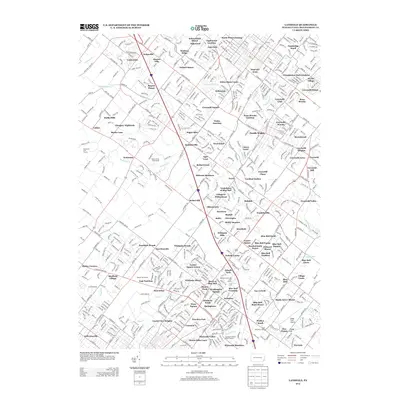
2013 Map of Lansdale
USGS Topo · Published 2013About this map
The Peter Wentz Homestead stands as a prominent historical anchor in this Montgomery County landscape, which by the early 21st century displays a dense network of suburban developments and residential manors. The geography is defined by the headwaters and branches of several significant waterways, including Wissahickon Cr, Skippack Cr, and Stony Cr, which historically dictated the placement of early settlements like Kulpsville and Heebnerville. Modern infrastructure, including the I-476 corridor, now cuts through these older crossroads. Local landmarks such as Wings Field Airport and the Mermaid Swim and Golf Course illustrate the transition from agrarian roots to a recreation-heavy suburban environment. Researchers can find numerous named subdivisions such as Gwynedd Square and Oxford Manor, showing the intensification of land use around traditional hubs like West Point and Wales Junction.
Find a feature on this map
117 named features on this map. Tap any name to fly to it.
Don’t see what you’re looking for? This feature index may not catch every label — zoom into the map to look around manually.
Map Details
Editions of this 2013 Lansdale Map
This is the sole edition of this map. No revisions or reprints were ever made.
Other maps of this area

1888 · Quakertown
USGS Topo · 1:62,500

1890 · Doylestown
USGS Topo · 1:62,500

1890 · Quakertown
USGS Topo · 1:62,500

1891 · Doylestown
USGS Topo · 1:62,500

1893 · Germantown
USGS Topo · 1:62,500

1894 · Quakertown
USGS Topo · 1:62,500

1894 · Norristown
USGS Topo · 1:62,500

1894 · Germantown
USGS Topo · 1:62,500

1895 · Norristown
USGS Topo · 1:62,500

1896 · Germantown
USGS Topo · 1:62,500