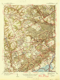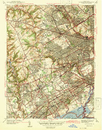
1942 Map of Lansdowne
USGS Topo · Published 1942About this map
Upper Darby and the surrounding townships of Delaware Co showcase a densely woven suburban landscape during the early 1940s. The area is defined by its educational and religious institutions, including the expansive St Charles Borromeo Seminary, Eastern Baptist Seminary, and Swarthmore College. This period captures the region as a major transit corridor, with the Pennsylvania Railroad and various local stations like Lansdowne Sta and Clifton Sta anchoring the growth of residential clusters in Drexel Hill, Llanerch, and Springfield.
Find a feature on this map
134 named features on this map. Tap any name to fly to it.
Don’t see what you’re looking for? This feature index may not catch every label — zoom into the map to look around manually.
Map Details
Editions of this 1942 Lansdowne Map
This is the sole edition of this map. No revisions or reprints were ever made.
Historical Maps of Philadelphia Through Time
5 maps found