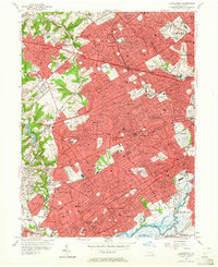
1956 Map of Lansdowne
USGS Topo · Published 1964About this map
Darby Creek and Cobbs Creek serve as the primary hydrological arteries for this densely settled landscape on the edge of Philadelphia County. By the mid-1950s, the western suburban expansion of Delaware County is well-established, showing a complex web of borough and township boundaries including Upper Darby and Springfield. The map reveals a highly developed infrastructure of schools and religious institutions, from St Andrews Sch in Drexel Hill to the sprawling grounds of Swarthmore College in the southwest.
Find a feature on this map
82 named features on this map. Tap any name to fly to it.
Don’t see what you’re looking for? This feature index may not catch every label — zoom into the map to look around manually.
Map Details
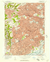
Editions of this 1956 Lansdowne Map
2 editions found
Other maps of this area

1891 · Philadelphia
USGS Topo · 1:62,500

1893 · Germantown
USGS Topo · 1:62,500

1894 · Chester
USGS Topo · 1:62,500

1894 · Philadelphia
USGS Topo · 1:62,500

1894 · Norristown
USGS Topo · 1:62,500

1894 · Germantown
USGS Topo · 1:62,500

1895 · Norristown
USGS Topo · 1:62,500

1896 · Germantown
USGS Topo · 1:62,500

1896 · Philadelphia
USGS Topo · 1:62,500

1896 · Norristown
USGS Topo · 1:62,500