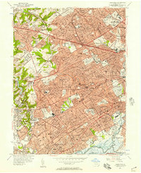
1956 Map of Lansdowne
USGS Topo · Published 1957About this map
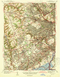
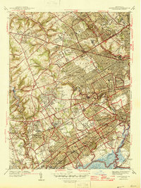
Darby Creek and Cobbs Creek define much of this densely settled landscape in eastern Delaware County during the mid-1950s. The map captures a mature suburban network of boroughs like Lansdowne, Clifton Heights, and Collingdale, where residential expansion is framed by the intensive infrastructure of the Pennsylvania Railroad and Reading Railroad. To the west, the campus of Swarthmore College sits near the winding course of Crum Creek, while massive institutional grounds such as Holy Cross Cemetery and Arlington Cemetery occupy significant acreage between the growing townships. This era shows the early stages of major highway development, including work on segments labeled as under construction, which would soon further integrate Havertown and Upper Darby Township with the surrounding metropolitan area.
Find a feature on this map
95 named features on this map. Tap any name to fly to it.
Don’t see what you’re looking for? This feature index may not catch every label — zoom into the map to look around manually.
Map Details
Editions of this 1956 Lansdowne Map
2 editions found
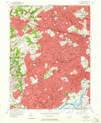
Historical Maps of Philadelphia Through Time
5 maps found