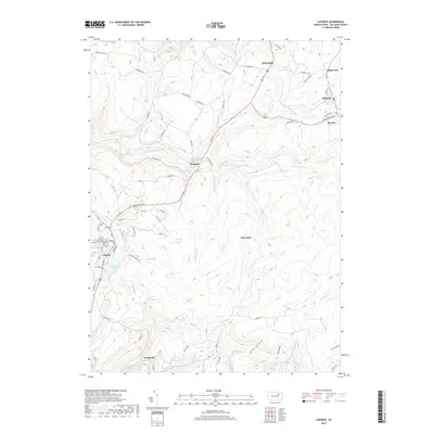
2019 Map of Laporte
USGS Topo · Published 2019About this map
The Sullivan County Courthouse stands at the center of Laporte, the county seat, surrounded by a landscape defined by deep drainages and upland plateaus. In this modern survey, the high-country character of the region is evident through the numerous tributaries of Loyalsock Creek, including Birch Cr and Muncy Cr. Small mountain settlements like Mildred, Bernice, and Nordmont are linked by winding routes such as the Appalachian Pkwy and Tourscher Rd, while natural features like Dutchman Falls and Haystacks Rapids indicate the steep drops of the local hydrology.
Find a feature on this map
95 named features on this map. Tap any name to fly to it.
Don’t see what you’re looking for? This feature index may not catch every label — zoom into the map to look around manually.
Map Details
Editions of this 2019 Laporte Map
This is the sole edition of this map. No revisions or reprints were ever made.
Other maps of this area

1927 · Eagles Mere
USGS Topo · 1:48,000

1932 · Eagle Mere
USGS Topo · 1:62,500

1934 · Laporte
USGS Topo · 1:62,500

1943 · Monroeton
USGS Topo · 1:62,500

1943 · Powell
USGS Topo · 1:62,500

1945 · Powell
USGS Topo · 1:62,500

1953 · LaPorte
USGS Topo · 1:62,500

1953 · Eagles Mere
USGS Topo · 1:62,500

1954 · Williamsport
USGS Topo · 1:250,000

1960 · Williamsport
USGS Topo · 1:250,000