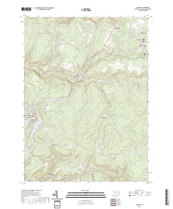
2023 Map of Laporte
USGS Topo · Published 2023About this map
The Sullivan County Courthouse stands as the central landmark of Laporte, the smallest county seat in Pennsylvania, situated amidst a landscape defined by deep runs and high plateaus. This recent survey documents the enduring settlement patterns of the region, from the cluster of mining heritage near Mildred and Bernice to the southern hamlet of Nordmont. The area is characterized by its complex hydrology, where Loyalsock Creek and Muncy Creek drain the surrounding heights. Genealogy and local history are particularly well-represented through numerous burial grounds, including the Saint Francis of Assisi Cem and the Bresbyterian Cem. Recreational and natural features like Mokoma Lake and the Cranberry Swamp highlight the balance between the historic small-town centers and the preserved wilderness of the Endless Mountains region.
Find a feature on this map
94 named features on this map. Tap any name to fly to it.
Don’t see what you’re looking for? This feature index may not catch every label — zoom into the map to look around manually.
Map Details
Editions of this 2023 Laporte Map
This is the sole edition of this map. No revisions or reprints were ever made.
Other maps of this area

1927 · Eagles Mere
USGS Topo · 1:48,000

1932 · Eagle Mere
USGS Topo · 1:62,500

1934 · Laporte
USGS Topo · 1:62,500

1943 · Monroeton
USGS Topo · 1:62,500

1943 · Powell
USGS Topo · 1:62,500

1945 · Powell
USGS Topo · 1:62,500

1953 · LaPorte
USGS Topo · 1:62,500

1953 · Eagles Mere
USGS Topo · 1:62,500

1954 · Williamsport
USGS Topo · 1:250,000

1960 · Williamsport
USGS Topo · 1:250,000
Featured Places
- Laporte, PA
- Cherry Township, PA
- Laporte Township, PA
- Satterfield, Cherry Township
- Bernice, Cherry Township