2023 Map of Lawrence
USGS Topo · Published 2023About this map
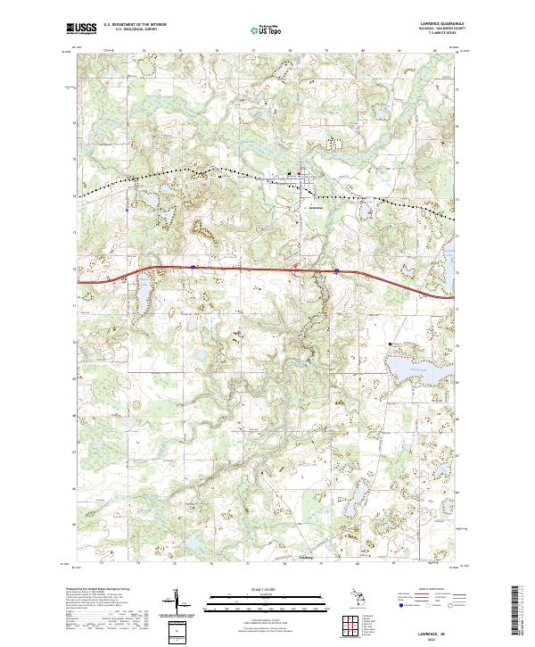
Lawrence serves as the focal point of this Van Buren County landscape, where the Paw Paw River winds through the northern sections near Nicholas Lake and Nelson Lake. The village layout is anchored by the Lawrence Village Hall, with historical roadbeds like the Red Arrow Hwy and Old Territorial Rd providing a framework for the region's movement. These routes connect the primary settlement to outlying areas like Fritzburg and family-named water bodies including Hall Lake, Cornwall Lake, and Baker Lake.
Find a feature on this map
58 named features on this map. Tap any name to fly to it.
Don’t see what you’re looking for? This feature index may not catch every label — zoom into the map to look around manually.
Map Details
Editions of this 2023 Lawrence Map
This is the sole edition of this map. No revisions or reprints were ever made.
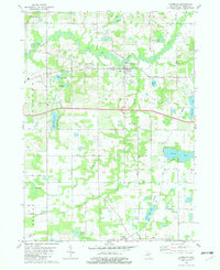
Historical Maps of Keeler Township Through Time
Featured Locations
- Arlington Township, MI
- Bangor Township, MI
- Keeler Township, MI
- Fritzburg, Hamilton Township
- Lawrence, Lawrence Township