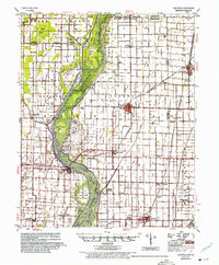
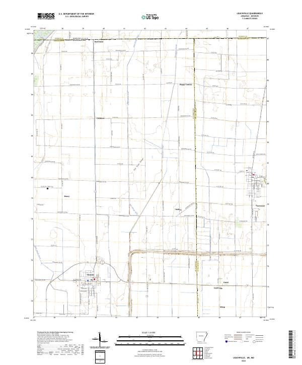
1941 Map of Leachville
USGS Topo · Published 1943About this map
The St Francis River and its accompanying Sunk Lands dominate this landscape, reflecting a complex network of wetlands and reclaimed alluvial plains during the early 1940s. This survey, revised under the Flood Control Act, illustrates the extensive drainage infrastructure of the era, including numerous channels like Cypress Ditch No 4 and Honey Cypress Ditch that reshaped the geography of Greene, Craighead, and Mississippi counties. Local life is anchored by established rail towns like Leachville, Monette, and Lake City, while smaller communities such as Black Oak and Caraway sit amidst a grid of rural schoolhouses and churches. Notable landmarks including the Indian Mounds near Schug and the distinct topography of Old Town Ridge provide a sense of the region's ancient and more recent history. The presence of the St Louis San Francisco RR and the St Louis Southwestern RR highlights the importance of rail transport for moving timber and agricultural goods through this river-basin corridor.
Find a feature on this map
114 named features on this map. Tap any name to fly to it.
Don’t see what you’re looking for? This feature index may not catch every label — zoom into the map to look around manually.
Map Details
Editions of this 1941 Leachville Map
This is the sole edition of this map. No revisions or reprints were ever made.
Historical Maps of Leachville Through Time
4 maps found