
1972 Map of Leakesville
USGS Topo · Published 1974About this map
The Chickasawhay River meanders through Greene County, shaping a landscape of dramatic bluffs and oxbow lakes in the early 1970s. The settlement of Leakesville serves as the focal point, situated near the riverbanks where historical features like the Leakesville High School Annex and Magnolia Cemetery are documented. The surrounding terrain is defined by its water-carved geography, featuring numerous named ponds and sloughs such as Tobe Lake, Oscar Dead River, and the sweeping Ferry Bend.
Find a feature on this map
59 named features on this map. Tap any name to fly to it.
Don’t see what you’re looking for? This feature index may not catch every label — zoom into the map to look around manually.
Map Details
Editions of this 1972 Leakesville Map
This is the sole edition of this map. No revisions or reprints were ever made.
Other maps of this area

1942 · Deer Park
USGS Topo · 1:62,500

1943 · Deer Park
USGS Topo · 1:62,500

1953 · Hattiesburg
USGS Topo · 1:250,000

1958 · Hattiesburg
USGS Topo · 1:250,000

1964 · Clark
USGS Topo · 1:24,000

1964 · Avera
USGS Topo · 1:24,000
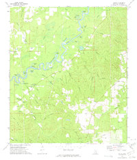
1972 · Vernal
USGS Topo · 1:24,000

1973 · Jonathan
USGS Topo · 1:24,000
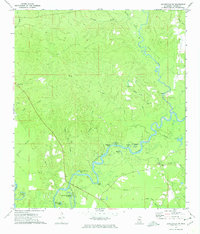
1973 · Leakesville SW
USGS Topo · 1:24,000

1974 · Fruitdale
USGS Topo · 1:24,000