Loading...
Loading map...1992 Map of Leesburg
USGS Topo · Published 1995About this map
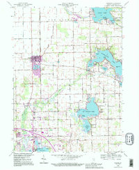
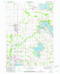
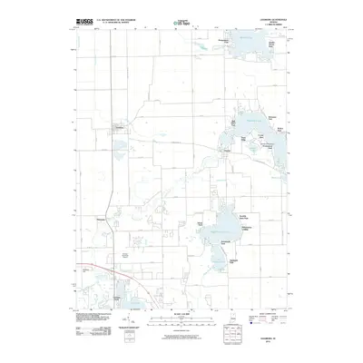
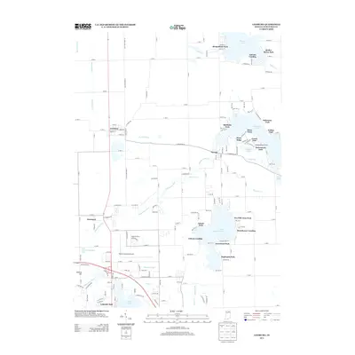
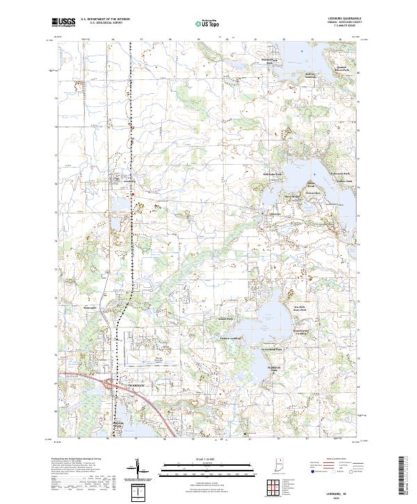
Tippecanoe Lake and Big Chapman Lake anchor this 1990s-revised study of Kosciusko County, showcasing a landscape defined by its glacial waters and recreational growth. The town of Leesburg sits along the Conrail line, while historic lakefront communities like Oswego and Quaker Haven Park dot the shoreline of the larger basins. The map preserves traces of an older agrarian and institutional era, from the Township Sch to the Groves Cem and New Salem Ch.
Find a feature on this map
59 named features on this map. Tap any name to fly to it.
Don’t see what you’re looking for? This feature index may not catch every label — zoom into the map to look around manually.
Map Details
Date Portrayed1992
Date Published1995
PublisherU.S. Geological Survey
Map TypeTopographic
Scale1:24,000
Physical Dimensions22 x 26.9 inches
Editions of this 1992 Leesburg Map
This is the sole edition of this map. No revisions or reprints were ever made.
Historical Maps of Warsaw Through Time
8 maps found

Featured Locations
Source Details
SourceU.S. Geological Survey
CopyrightPublic Domain