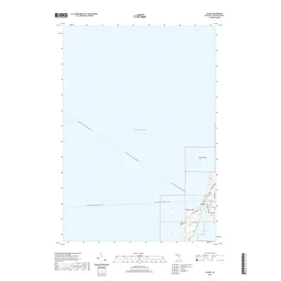
2019 Map of Leland
USGS Topo · Published 2019About this map
Leland occupies a narrow strip of land between the vast waters of Lake Michigan and the northern tip of Lake Leelanau, creating a unique geographical bottleneck defined by its maritime surroundings. The Leland River serves as the short, vital link connecting these two water bodies, around which much of the community's street grid is organized. Residential and local roads like N Manitou Trl, Grand Ave, and Indiana Woods radiate from the central village, while the Leland Catholic Cem remains a significant local landmark for genealogical research. A distinctive feature of this coastal landscape is the Passenger Ferry (seasonal) (Water) route, which strikes northwest across the open lake from the harbor. The terrain is further marked by Carp River Point, where the shoreline curves westward into the lake, illustrating the peninsula's exposure to the elements.
Find a feature on this map
21 named features on this map. Tap any name to fly to it.
Don’t see what you’re looking for? This feature index may not catch every label — zoom into the map to look around manually.
Map Details
Editions of this 2019 Leland Map
This is the sole edition of this map. No revisions or reprints were ever made.
Other maps of this area

1954 · Traverse City
USGS Topo · 1:250,000

1955 · Cheboygan
USGS Topo · 1:250,000

1957 · Traverse City
USGS Topo · 1:62,500

1957 · Northport
USGS Topo · 1:62,500

1957 · Maple City
USGS Topo · 1:62,500

1958 · Cheboygan
USGS Topo · 1:250,000

1958 · Traverse City
USGS Topo · 1:250,000
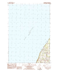
1983 · Northport NW
USGS Topo · 1:25,000
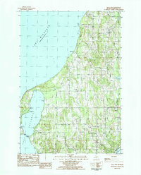
1983 · Gills Pier
USGS Topo · 1:25,000

1983 · Traverse City
USGS Topo · 1:100,000