
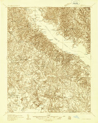
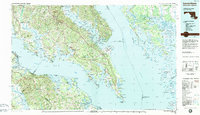
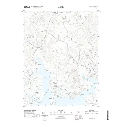
1892 Map of Leonardtown
USGS Topo · Published 1892About this map
Leonardtown serves as the hub of this Southern Maryland landscape, where the tides of Breton Bay meet the inland drainages of Mc. Intosh Run. The geography is defined by the massive Patuxent River, which separates St. Marys and Calvert counties. In the early 1890s, the region’s economy relied heavily on water-borne transport, evidenced by numerous landings and wharves such as Reeder Wharf, Clarks Wharf, and Stone Wharf that dot the shoreline.
Find a feature on this map
79 named features on this map. Tap any name to fly to it.
Don’t see what you’re looking for? This feature index may not catch every label — zoom into the map to look around manually.
Map Details
Editions of this 1892 Leonardtown Map
This is the sole edition of this map. No revisions or reprints were ever made.
Historical Maps of Lexington Park Through Time
13 maps found
1892 Leonardtown
St. Mary's County, MD

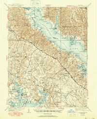
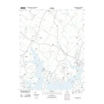
1895 Leonardtown
St. Mary's County, MD

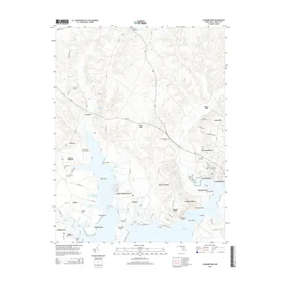
1901 Leonardtown
St. Mary's County, MD
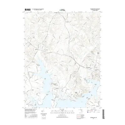
1936 Leonardtown
St. Mary's County, MD
1939 Leonardtown
St. Mary's County, MD
1950 Leonardtown
St. Mary's County, MD
1963 Leonardtown
St. Mary's County, MD
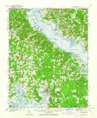
1983 Leonardtown
St. Mary's County, MD
2011 Leonardtown
St. Mary's County, MD
2014 Leonardtown
St. Mary's County, MD
2016 Leonardtown
St. Mary's County, MD
2019 Leonardtown
St. Mary's County, MD
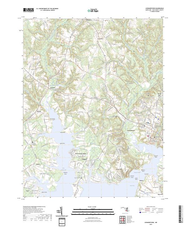
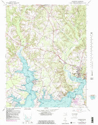
2023 Leonardtown
St. Mary's County, MD
Featured Locations
- Leonardtown, MD
- Lexington Park, MD
- Golden Beach, MD
- California, Lexington Park
- Wildewood, Lexington Park