
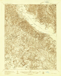
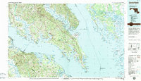
1983 Map of Leonardtown
USGS Topo · Published 1984This historical map portrays the area of Leonardtown in 1983, primarily covering St. Mary's County as well as portions of Virginia. Featuring a scale of 1:100000, this map provides a highly detailed snapshot of the terrain, roads, buildings, counties, and historical landmarks in the Leonardtown region at the time. Published in 1984, it is one of 2 known editions of this map due to revisions or reprints.
Find a feature on this map
200 named features on this map. Tap any name to fly to it.
Don’t see what you’re looking for? This feature index may not catch every label — zoom into the map to look around manually.
Map Details
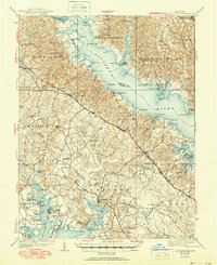
Editions of this 1983 Leonardtown Map
2 editions found
Historical Maps of Dorchester County Through Time
9 maps found

1892 Leonardtown
St. Mary's County, MD

1895 Leonardtown
St. Mary's County, MD

1901 Leonardtown
St. Mary's County, MD
1936 Leonardtown
St. Mary's County, MD
1939 Leonardtown
St. Mary's County, MD
1950 Leonardtown
St. Mary's County, MD
1963 Leonardtown
St. Mary's County, MD
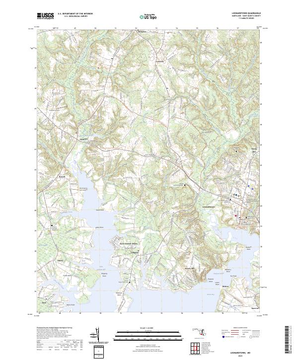
1983 Leonardtown
St. Mary's County, MD
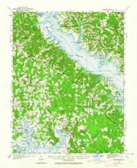
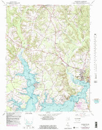
2023 Leonardtown
St. Mary's County, MD
Featured Locations
- Chesapeake Ranch Estates, MD
- Colonial Beach, VA
- Lexington Park, MD
- California, Lexington Park
- Wildewood, Lexington Park