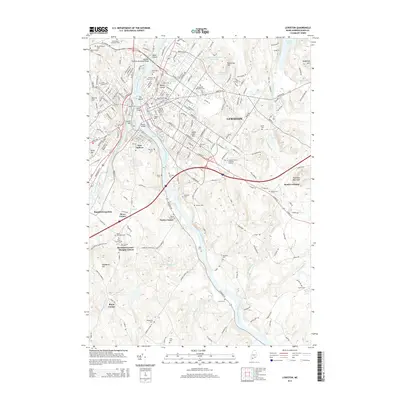
2014 Map of Lewiston
USGS Topo · Published 2014About this map
Lewiston and its neighbor New Auburn sit prominently along the winding Androscoggin River in this 2014 study. The map illustrates a dense urban core defined by historic education and industrial infrastructure, including the campus of Bates Coll and the University of Southern Maine Lewiston Auburn. Beyond the central bridges—the North Bridge and South Bridge—the terrain rises to significant local peaks like Mount David and Thorncrag Hill.
Find a feature on this map
62 named features on this map. Tap any name to fly to it.
Don’t see what you’re looking for? This feature index may not catch every label — zoom into the map to look around manually.
Map Details
Editions of this 2014 Lewiston Map
This is the sole edition of this map. No revisions or reprints were ever made.
Other maps of this area

1892 · Freeport
USGS Topo · 1:62,500

1894 · Gray
USGS Topo · 1:62,500

1898 · Gray
USGS Topo · 1:62,500

1908 · Poland
USGS Topo · 1:62,500

1908 · Lewiston
USGS Topo · 1:62,500

1940 · Poland
USGS Topo · 1:62,500

1941 · Freeport
USGS Topo · 1:62,500

1942 · Lewiston
USGS Topo · 1:62,500

1942 · Poland
USGS Topo · 1:62,500

1942 · Gray
USGS Topo · 1:62,500