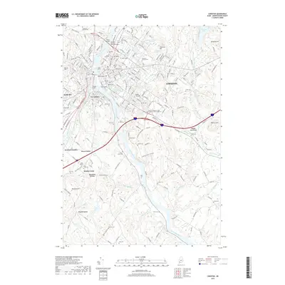
2018 Map of Lewiston
USGS Topo · Published 2018About this map
The Androscoggin River carves a deep path through this industrial and educational hub, separating the cities of Lewiston and Auburn. The river’s power is evident at Great Falls, while its banks are connected by the Vietnam Veterans Memorial Bridge, North Bridge, and South Bridge. Higher ground is marked by features like Mt David near the campus of Bates College and Thorncrag Hill, reflecting the area's varied topography.
Find a feature on this map
74 named features on this map. Tap any name to fly to it.
Don’t see what you’re looking for? This feature index may not catch every label — zoom into the map to look around manually.
Map Details
Editions of this 2018 Lewiston Map
This is the sole edition of this map. No revisions or reprints were ever made.
Other maps of this area

1892 · Freeport
USGS Topo · 1:62,500

1894 · Gray
USGS Topo · 1:62,500

1898 · Gray
USGS Topo · 1:62,500

1908 · Poland
USGS Topo · 1:62,500

1908 · Lewiston
USGS Topo · 1:62,500

1940 · Poland
USGS Topo · 1:62,500

1941 · Freeport
USGS Topo · 1:62,500

1942 · Lewiston
USGS Topo · 1:62,500

1942 · Poland
USGS Topo · 1:62,500

1942 · Gray
USGS Topo · 1:62,500