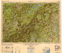
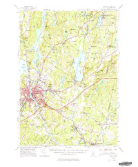
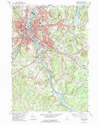
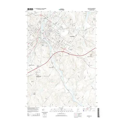
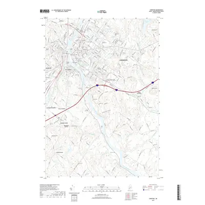
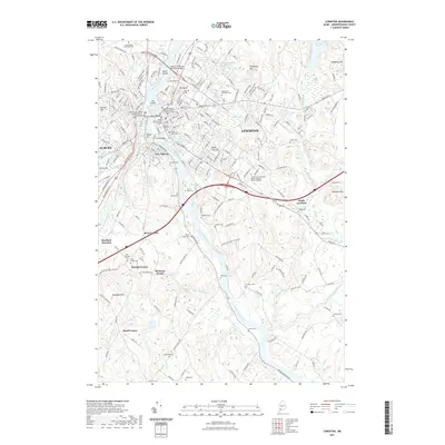
1950 Map of Lewiston
USGS Topo · Published 1950About this map
The Androscoggin River serves as the industrial spine for the twin cities of Lewiston and Auburn during this mid-century period. The map details a complex network of transportation and natural resources, where the Grand Trunk Railway and Maine Central Railroad connect timber and manufacturing hubs like Rumford, Berlin, and Mexico. The landscape is dominated by the high peaks of the White Mountains, including Mount Washington and the Presidential Range, surrounded by the protected lands of the White Mountain National Forest.
Find a feature on this map
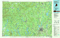
252 named features on this map. Tap any name to fly to it.
Don’t see what you’re looking for? This feature index may not catch every label — zoom into the map to look around manually.
Map Details
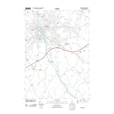
Editions of this 1950 Lewiston Map
2 editions found

Historical Maps of Lewiston Through Time
16 maps found
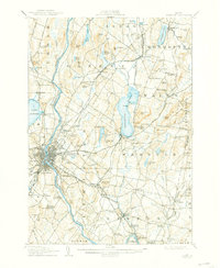
1908 Lewiston
Androscoggin County, ME
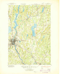
1942 Lewiston
Androscoggin County, ME
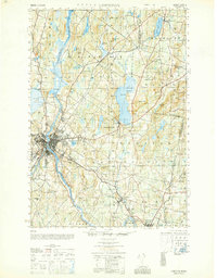
1950 Lewiston
Androscoggin County, ME
1950 Lewiston
Androscoggin County, ME

1956 Lewiston
Androscoggin County, ME
1956 Lewiston
Androscoggin County, ME

1961 Lewiston
Androscoggin County, ME

1962 Lewiston
Androscoggin County, ME

1969 Lewiston
Androscoggin County, ME
1979 Lewiston
Androscoggin County, ME
1986 Lewiston
Androscoggin County, ME
2011 Lewiston
Androscoggin County, ME
2014 Lewiston
Androscoggin County, ME
2018 Lewiston
Androscoggin County, ME
2021 Lewiston
Androscoggin County, ME
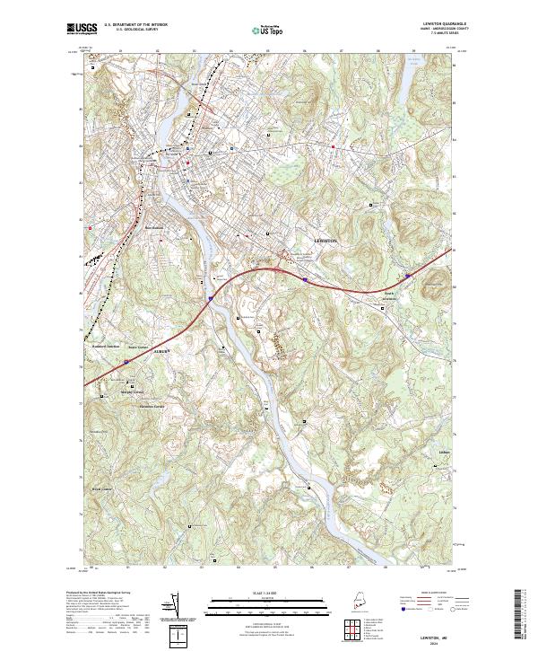
2024 Lewiston
Androscoggin County, ME