
1962 Map of Lewiston
USGS Topo · Published 1962About this map
The Androscoggin River serves as the industrial and geographic spine of this regional survey, connecting paper mill towns like Rumford and Berlin to the urban center of Lewiston. While the river valley facilitates trade and transit via the Grand Trunk RR and Maine Central RR, the landscape is dominated by the massive peaks of the White Mountains. High elevations such as Mount Washington and the Presidential Range contrast sharply with the developed corridors of Auburn and South Paris.
Find a feature on this map
74 named features on this map. Tap any name to fly to it.
Don’t see what you’re looking for? This feature index may not catch every label — zoom into the map to look around manually.
Map Details
Editions of this 1962 Lewiston Map
This is the sole edition of this map. No revisions or reprints were ever made.
Historical Maps of Keenes Corner Through Time
12 maps found
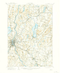
1908 Lewiston
Androscoggin County, ME

1942 Lewiston
Androscoggin County, ME
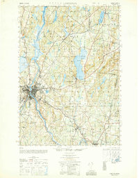
1950 Lewiston
Androscoggin County, ME
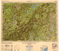
1950 Lewiston
Androscoggin County, ME

1956 Lewiston
Androscoggin County, ME
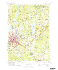
1956 Lewiston
Androscoggin County, ME

1961 Lewiston
Androscoggin County, ME
1962 Lewiston
Androscoggin County, ME

1969 Lewiston
Androscoggin County, ME
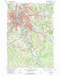
1979 Lewiston
Androscoggin County, ME
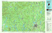
1986 Lewiston
Androscoggin County, ME
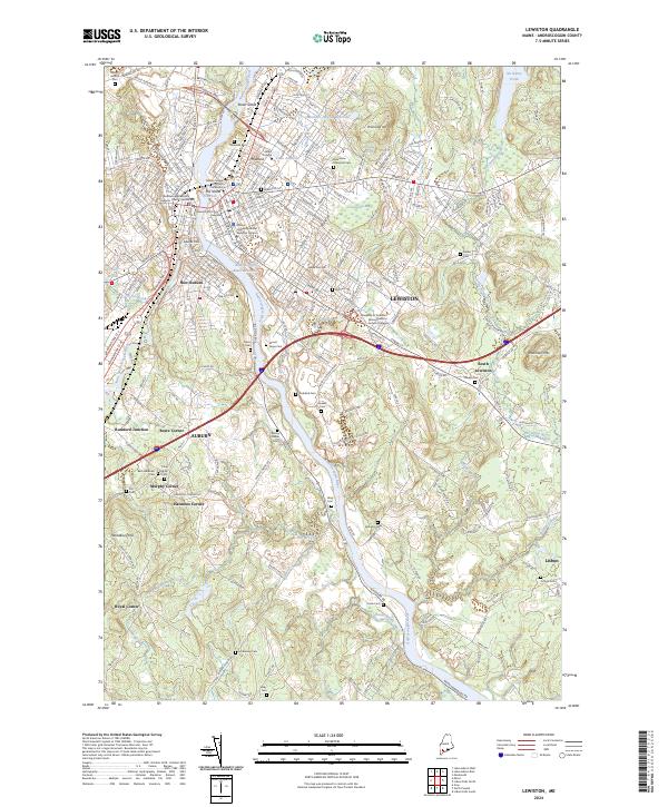
2024 Lewiston
Androscoggin County, ME