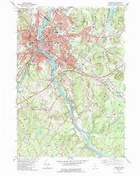
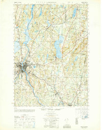
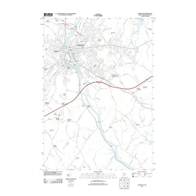
1979 Map of Lewiston
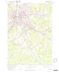
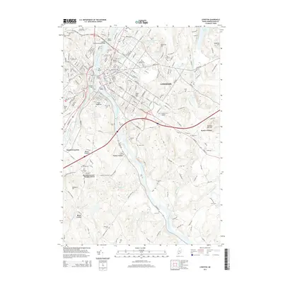
USGS Topo · Published 1989About this map
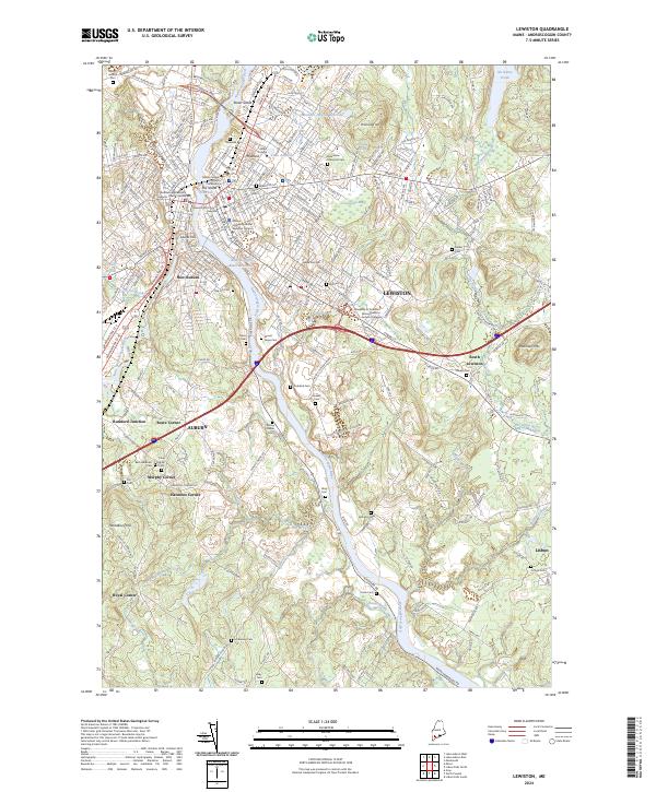
The Androscoggin River serves as the industrial and geographic spine of this twin-city region, separating the densely settled cores of Auburn and Lewiston. In the late 1970s, the urban landscape is defined by institutional landmarks like Bates College and the State Fairgrounds, while the surrounding countryside maintains its historic character through established crossroads and small family-named clusters. Settlements such as New Auburn and South Lewiston sit alongside older junctions like Rumford Junction and Penley Corner.
Find a feature on this map
71 named features on this map. Tap any name to fly to it.
Don’t see what you’re looking for? This feature index may not catch every label — zoom into the map to look around manually.
Map Details
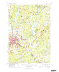
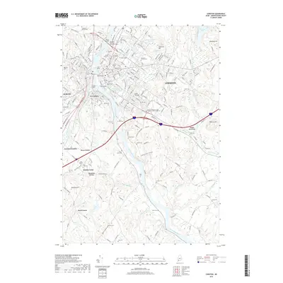
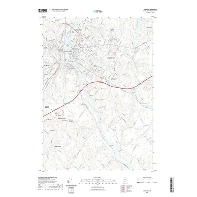
Editions of this 1979 Lewiston Map
2 editions found
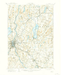
Historical Maps of Lewiston Through Time
16 maps found
1908 Lewiston
Androscoggin County, ME
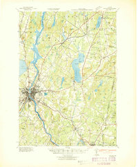
1942 Lewiston
Androscoggin County, ME
1950 Lewiston
Androscoggin County, ME
1950 Lewiston
Androscoggin County, ME

1956 Lewiston
Androscoggin County, ME
1956 Lewiston
Androscoggin County, ME

1961 Lewiston
Androscoggin County, ME

1962 Lewiston
Androscoggin County, ME

1969 Lewiston
Androscoggin County, ME
1979 Lewiston
Androscoggin County, ME
1986 Lewiston
Androscoggin County, ME
2011 Lewiston
Androscoggin County, ME
2014 Lewiston
Androscoggin County, ME
2018 Lewiston
Androscoggin County, ME
2021 Lewiston
Androscoggin County, ME
2024 Lewiston
Androscoggin County, ME