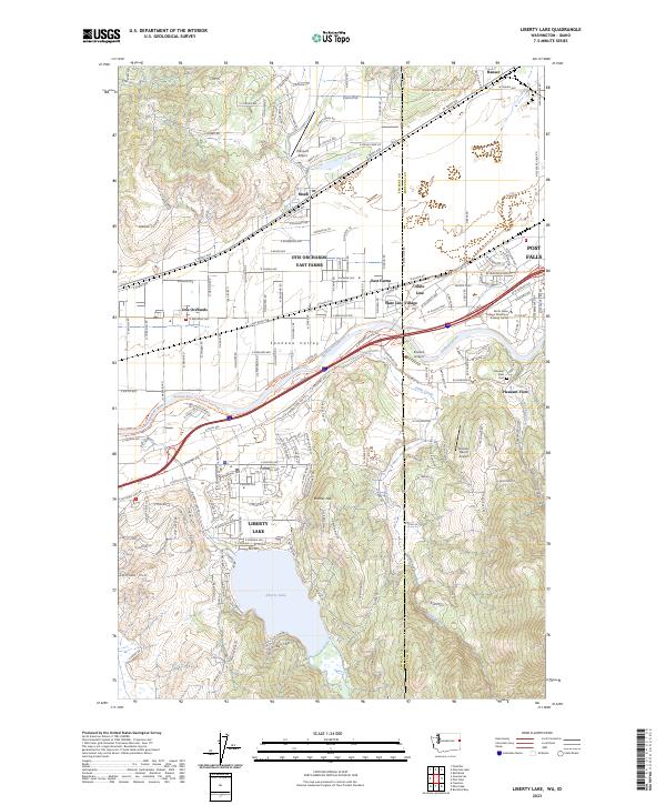
2023 Map of Liberty Lake
USGS Topo · Published 2023About this map
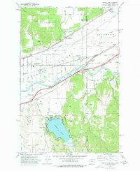
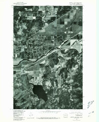
Liberty Lake and the Spokane River valley define this borderland geography where Washington meets Idaho. This modern topographic view captures a complex corridor of suburban growth and industrial transit, centered on the State Line between Spokane Co and Kootenai Co. Small airfields like Ellerport Airport and Scanlon Airport dot the landscape, alongside educational facilities like the North Idaho College Workforce Training Center. The mapping of established settlements like Moab and Otis Orchards contrasts with the recreational development of the Spokane River Centennial State Park Trl. South of the valley, the terrain rises toward Kramer Hill, framing the namesake water body and providing a clear record of contemporary infrastructure near the burgeoning community of Post Falls.
Find a feature on this map
63 named features on this map. Tap any name to fly to it.
Don’t see what you’re looking for? This feature index may not catch every label — zoom into the map to look around manually.
Map Details
Editions of this 2023 Liberty Lake Map
This is the sole edition of this map. No revisions or reprints were ever made.
Historical Maps of Otis Orchards Through Time
3 maps found