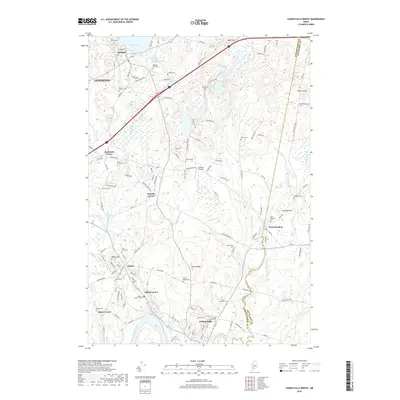
2018 Map of Lisbon Falls North
USGS Topo · Published 2018About this map
Sabattus Pond and the winding Androscoggin River anchor this landscape along the border of Androscoggin and Sagadhoc counties. The area is defined by a series of historic mill towns and crossroads settlements, including Lisbon Center, Lisbon Falls, and West Bowdoin. This 2018 survey reveals a high concentration of small family and community burial grounds, such as Furbush Cem, Sanborn Cem, and Eaton Cem, which are invaluable for tracing local lineage in these Maine townships.
Find a feature on this map
139 named features on this map. Tap any name to fly to it.
Don’t see what you’re looking for? This feature index may not catch every label — zoom into the map to look around manually.
Map Details
Editions of this 2018 Lisbon Falls North Map
This is the sole edition of this map. No revisions or reprints were ever made.
Other maps of this area

1892 · Gardiner
USGS Topo · 1:62,500

1892 · Freeport
USGS Topo · 1:62,500

1894 · Bath
USGS Topo · 1:62,500

1908 · Lewiston
USGS Topo · 1:62,500

1920 · Bath
USGS Topo · 1:62,500

1941 · Freeport
USGS Topo · 1:62,500

1942 · Lewiston
USGS Topo · 1:62,500

1943 · Gardiner
USGS Topo · 1:62,500

1944 · Freeport
USGS Topo · 1:62,500

1945 · Bath
USGS Topo · 1:62,500