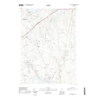
2021 Map of Lisbon Falls North
USGS Topo · Published 2021About this map
Sabattus River and Fisher Stream define the drainage of this central Maine landscape, where the settlements of Lisbon Falls, Lisbon Center, and Sabattus follow the historic water power and transport corridors. The map documents a high density of small family and community burial grounds, such as Pleasant Hill Cem, Furbush Cem, and Davis Bryent Cem, which serve as vital markers for genealogical research in Androscoggin County. Near the Androscoggin County line, the terrain rises toward Whitten Hill and Mann Hill, while smaller aviation history is preserved at Cliffords Airport. This 2021 survey illustrates the modern road network, including the path of the Interstate, while maintaining the names of traditional locales like Robinson Corner and Webster Corner.
Find a feature on this map
139 named features on this map. Tap any name to fly to it.
Don’t see what you’re looking for? This feature index may not catch every label — zoom into the map to look around manually.
Map Details
Editions of this 2021 Lisbon Falls North Map
This is the sole edition of this map. No revisions or reprints were ever made.
Other maps of this area

1892 · Gardiner
USGS Topo · 1:62,500

1892 · Freeport
USGS Topo · 1:62,500

1894 · Bath
USGS Topo · 1:62,500

1908 · Lewiston
USGS Topo · 1:62,500

1920 · Bath
USGS Topo · 1:62,500

1941 · Freeport
USGS Topo · 1:62,500

1942 · Lewiston
USGS Topo · 1:62,500

1943 · Gardiner
USGS Topo · 1:62,500

1944 · Freeport
USGS Topo · 1:62,500

1945 · Bath
USGS Topo · 1:62,500