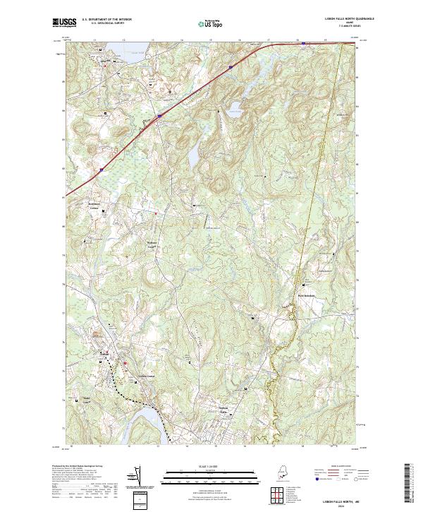
2024 Map of Lisbon Falls North
USGS Topo · Published 2024About this map
The Androscoggin River serves as the southern anchor for this map, where the settlement of Lisbon Falls developed around the waterway's power and transport potential. Northward, the landscape transitions into the rolling hills of Lisbon Ridge and the agricultural pocket of West Bowdoin. This area is particularly dense with small family and community burial grounds, such as the Pleasant Hill Cem and Lisbon Ridge Cem, which provide significant data points for genealogical research into the families of Androscoggin Co and Sagadahoc Co.
Find a feature on this map
146 named features on this map. Tap any name to fly to it.
Don’t see what you’re looking for? This feature index may not catch every label — zoom into the map to look around manually.
Map Details
Editions of this 2024 Lisbon Falls North Map
This is the sole edition of this map. No revisions or reprints were ever made.
Other maps of this area

1892 · Gardiner
USGS Topo · 1:62,500

1892 · Freeport
USGS Topo · 1:62,500

1894 · Bath
USGS Topo · 1:62,500

1908 · Lewiston
USGS Topo · 1:62,500

1920 · Bath
USGS Topo · 1:62,500

1941 · Freeport
USGS Topo · 1:62,500

1942 · Lewiston
USGS Topo · 1:62,500

1943 · Gardiner
USGS Topo · 1:62,500

1944 · Freeport
USGS Topo · 1:62,500

1945 · Bath
USGS Topo · 1:62,500