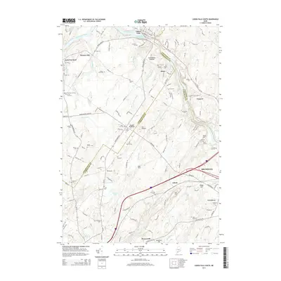
2014 Map of Lisbon Falls South
USGS Topo · Published 2014About this map
The Androscoggin River flows through this coastal Maine landscape, shaping the development of Lisbon Falls and smaller settlements like Pejepscot and South Durham. The terrain is characterized by numerous small water bodies such as Florida Lake and several brooks including Newell Brook and Collins Brook. Geologic features like Cox Pinnacle and Bald Rock punctuate the wooded hillsides near the municipal boundary of Brunswick.
Find a feature on this map
152 named features on this map. Tap any name to fly to it.
Don’t see what you’re looking for? This feature index may not catch every label — zoom into the map to look around manually.
Map Details
Editions of this 2014 Lisbon Falls South Map
This is the sole edition of this map. No revisions or reprints were ever made.
Other maps of this area

1892 · Gardiner
USGS Topo · 1:62,500

1892 · Freeport
USGS Topo · 1:62,500

1894 · Bath
USGS Topo · 1:62,500

1908 · Lewiston
USGS Topo · 1:62,500

1920 · Bath
USGS Topo · 1:62,500

1941 · Freeport
USGS Topo · 1:62,500

1942 · Lewiston
USGS Topo · 1:62,500

1943 · Gardiner
USGS Topo · 1:62,500

1944 · Freeport
USGS Topo · 1:62,500

1945 · Bath
USGS Topo · 1:62,500