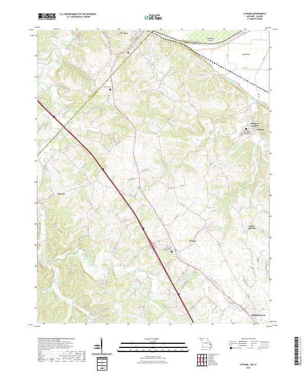
2021 Map of Lithium
USGS Topo · Published 2021About this map
St. Mary and the Village of Lithium anchor this landscape along the border of Perry County, Missouri and Randolph County, Illinois. The terrain is defined by the complex drainage of Saline Creek and the South Fork Saline Creek, which wind through the hills toward the Mississippi River floodplain. Notable for local history and genealogy, the map identifies several religious and burial sites, including the Saint John Catholic Church Cem and the Christ The Savior Catholic Church Cem. A unique geological feature, the Ball Mill Resurgence, appears near Blue Spring, indicating the karst topography of the region. The map also captures smaller communities like Brewer and Saline Junction, alongside a network of rural routes such as Roth Cemetary Rd and Mint Spring Rd.
Find a feature on this map
93 named features on this map. Tap any name to fly to it.
Don’t see what you’re looking for? This feature index may not catch every label — zoom into the map to look around manually.
Map Details
Editions of this 2021 Lithium Map
This is the sole edition of this map. No revisions or reprints were ever made.