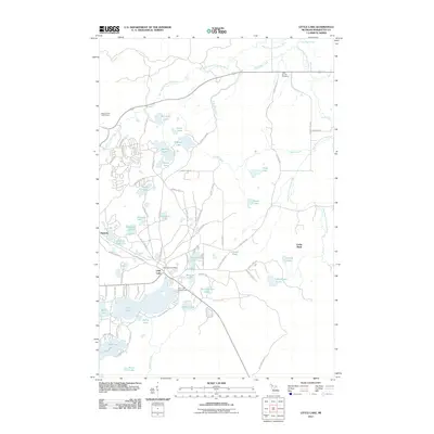
2011 Map of Little Lake
USGS Topo · Published 2011About this map
Little Lake and the nearby settlement of Swanzy anchor this landscape in Marquette County, defined by a dense network of glacial lakes and the winding paths of the West Branch Chocolay River and East Branch Chocolay River. The area serves as a significant recreational and residential hub, featuring the Little Lake Campground and the Red Fox Run Golf Course. The concentration of water bodies, including Big Trout Lake, Engman Lake, and Silver Lake, suggests a region deeply tied to the Upper Peninsula's natural drainage patterns and seasonal residency.
Find a feature on this map
81 named features on this map. Tap any name to fly to it.
Don’t see what you’re looking for? This feature index may not catch every label — zoom into the map to look around manually.
Map Details
Editions of this 2011 Little Lake Map
This is the sole edition of this map. No revisions or reprints were ever made.
Other maps of this area

1932 · Skandia SW
USGS Topo · 1:31,680

1932 · Helena NW
USGS Topo · 1:31,680

1932 · Helena NE
USGS Topo · 1:31,680

1932 · Harvey NW
USGS Topo · 1:31,680

1932 · Harvey SE
USGS Topo · 1:31,680

1932 · Harvey SW
USGS Topo · 1:31,680

1932 · Rock NW
USGS Topo · 1:31,680

1932 · Harvey NE
USGS Topo · 1:31,680

1950 · Skandia NW
USGS Topo · 1:31,680

1951 · Helena NE
USGS Topo · 1:31,680