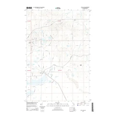
2014 Map of Little Lake
USGS Topo · Published 2014About this map
The forest and water-rich landscape of Marquette County define this area of the Upper Peninsula, where the W Br Chocolay River and E Br Chocolay River carve through the terrain. The settlement of Little Lake serves as a central point, situated near a cluster of glacial lakes including Farmer Lake, Beauyan Lake, and Morbit Lake. The map reveals the intricate network of residential streets in the northern section around K. I. Sawyer, featuring aviation-themed names like Voodoo Ave, Stratofort St, and Mustang Dr.
Find a feature on this map
87 named features on this map. Tap any name to fly to it.
Don’t see what you’re looking for? This feature index may not catch every label — zoom into the map to look around manually.
Map Details
Editions of this 2014 Little Lake Map
This is the sole edition of this map. No revisions or reprints were ever made.
Other maps of this area

1932 · Skandia SW
USGS Topo · 1:31,680

1932 · Helena NW
USGS Topo · 1:31,680

1932 · Helena NE
USGS Topo · 1:31,680

1932 · Harvey NW
USGS Topo · 1:31,680

1932 · Harvey SE
USGS Topo · 1:31,680

1932 · Harvey SW
USGS Topo · 1:31,680

1932 · Rock NW
USGS Topo · 1:31,680

1932 · Harvey NE
USGS Topo · 1:31,680

1950 · Skandia NW
USGS Topo · 1:31,680

1951 · Helena NE
USGS Topo · 1:31,680