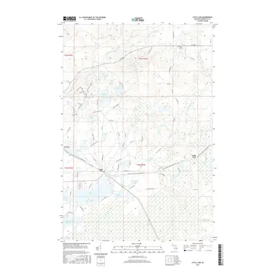
2017 Map of Little Lake
USGS Topo · Published 2017About this map
Little Lake and the nearby settlement of Swanzy serve as the primary hubs in this lake-heavy portion of Marquette County. The landscape is defined by a dense network of glacial water bodies, including Big Trout Lake, Silver Lake, and Sporley Lake, which feed the headwaters of the W Br Chocolay River. A notable topographical feature is the series of cascades, such as Froiling Falls and Upper Chocolay Falls, where the river systems descend through the northern woodlands.
Find a feature on this map
91 named features on this map. Tap any name to fly to it.
Don’t see what you’re looking for? This feature index may not catch every label — zoom into the map to look around manually.
Map Details
Editions of this 2017 Little Lake Map
This is the sole edition of this map. No revisions or reprints were ever made.
Other maps of this area

1932 · Skandia SW
USGS Topo · 1:31,680

1932 · Helena NW
USGS Topo · 1:31,680

1932 · Helena NE
USGS Topo · 1:31,680

1932 · Harvey NW
USGS Topo · 1:31,680

1932 · Harvey SE
USGS Topo · 1:31,680

1932 · Harvey SW
USGS Topo · 1:31,680

1932 · Rock NW
USGS Topo · 1:31,680

1932 · Harvey NE
USGS Topo · 1:31,680

1950 · Skandia NW
USGS Topo · 1:31,680

1951 · Helena NE
USGS Topo · 1:31,680