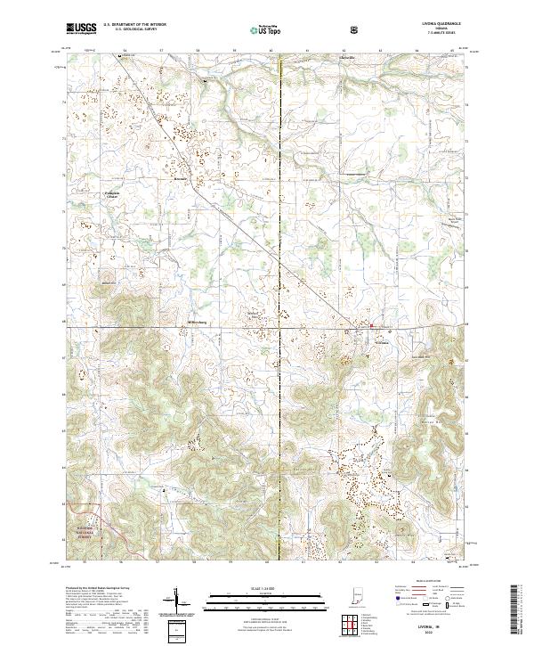
2022 Map of Livonia
USGS Topo · Published 2022About this map
Livonia and the surrounding farmland of the Mitchell Plain occupy the center of this rural landscape where the border of Orange and Washington counties meets. The area is defined by its unusual subterranean drainage, where the Lost River and its South Fork meander through the northern reaches. Small agricultural settlements like Millersburg, Bromer, and Pumpkin Center are connected by a network of county roads that navigate around significant topographical features such as Patton Hill and Mahan Hill.
Find a feature on this map
60 named features on this map. Tap any name to fly to it.
Don’t see what you’re looking for? This feature index may not catch every label — zoom into the map to look around manually.
Map Details
Editions of this 2022 Livonia Map
This is the sole edition of this map. No revisions or reprints were ever made.
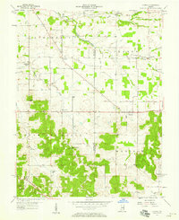
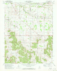
Historical Maps of Bromer Through Time
3 maps found