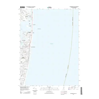
2014 Map of Long Branch East
USGS Topo · Published 2014About this map
Long Branch and its surrounding coastal communities are shown in this detail-rich landscape where the Shrewsbury River and Atlantic Ocean define the geography. The map reveals the intricate residential street grids of Rumson, Monmouth Beach, and Oceanport, documenting the dense development of the Jersey Shore. Notable water features like Oyster Bay and Lake Takanassee provide landmarks for local history, while the barrier beach settlements of Sea Bright, Low Moor, and Galilee illustrate the narrow strip of land separating the river from the sea. Inland, the map traces the paths of Manahassett Creek and Troutmans Creek as they drain into the river system. This survey documents the modern layout of iconic corridors like Ocean Ave and Broadway, reflecting the contemporary state of these storied summer destinations and year-round neighborhoods.
Find a feature on this map
62 named features on this map. Tap any name to fly to it.
Don’t see what you’re looking for? This feature index may not catch every label — zoom into the map to look around manually.
Map Details
Editions of this 2014 Long Branch East Map
This is the sole edition of this map. No revisions or reprints were ever made.
Other maps of this area

1888 · Asbury Park
USGS Topo · 1:62,500

1888 · Sandy Hook
USGS Topo · 1:62,500

1893 · Sandy Hook
USGS Topo · 1:62,500

1893 · Asbury Park
USGS Topo · 1:62,500

1901 · Sandy Hook
USGS Topo · 1:62,500

1901 · Asbury Park
USGS Topo · 1:62,500

1902 · Navesink
USGS Topo · 1:125,000

1918 · Sandy Hook
USGS Topo · 1:62,500

1919 · Asbury Park
USGS Topo · 1:62,500

1944 · Newark
USGS Topo · 1:250,000