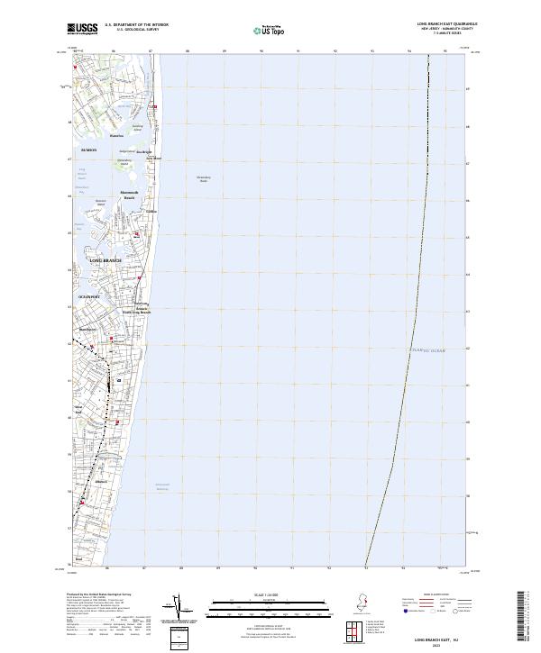
2023 Map of Long Branch East
USGS Topo · Published 2023About this map
Long Branch and the surrounding Monmouth County shorefront are defined by a complex network of barrier islands, back-bays, and the open Atlantic Ocean. The geography reveals how the Shrewsbury River and Shrewsbury Bay create protected reaches and islands such as Gunning Island and Raccoon Island, which separate the mainland from the narrow coastal strips of Sea Bright and Monmouth Beach.
Find a feature on this map
115 named features on this map. Tap any name to fly to it.
Don’t see what you’re looking for? This feature index may not catch every label — zoom into the map to look around manually.
Map Details
Editions of this 2023 Long Branch East Map
This is the sole edition of this map. No revisions or reprints were ever made.
Other maps of this area

1888 · Asbury Park
USGS Topo · 1:62,500

1888 · Sandy Hook
USGS Topo · 1:62,500

1893 · Sandy Hook
USGS Topo · 1:62,500

1893 · Asbury Park
USGS Topo · 1:62,500

1901 · Sandy Hook
USGS Topo · 1:62,500

1901 · Asbury Park
USGS Topo · 1:62,500

1902 · Navesink
USGS Topo · 1:125,000

1918 · Sandy Hook
USGS Topo · 1:62,500

1919 · Asbury Park
USGS Topo · 1:62,500

1944 · Newark
USGS Topo · 1:250,000