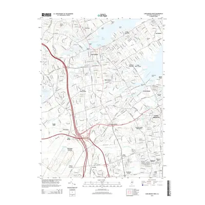
2014 Map of Long Branch West
USGS Topo · Published 2014About this map
Red Bank and the surrounding Monmouth County communities are defined by the intricate waterways of the Navesink River and the Shrewsbury River complex. This mid-2010s survey captures a landscape where established boroughs like Fair Haven, Little Silver, and Shrewsbury meet the tidal reaches of Blossom Cove, Fair Haven Reach, and Blackberry Bay. The map provides significant genealogical value, documenting numerous burial grounds including Fairview Cem, Mt Olivet Cem, and the Quaker Cem near Rumson. Further south, the suburban expansion of Eatontown and West Long Branch is visible, centered around Monmouth Univ and bounded by the modern transit corridor of the Garden State Pky. Legacy place names such as Dogs Corners, Wileys Corners, and Cooks Mills persist alongside the larger municipal centers of Long Branch and Tinton Falls, reflecting the area's transition from colonial crossroads to dense coastal suburbs.
Find a feature on this map
76 named features on this map. Tap any name to fly to it.
Don’t see what you’re looking for? This feature index may not catch every label — zoom into the map to look around manually.
Map Details
Editions of this 2014 Long Branch West Map
This is the sole edition of this map. No revisions or reprints were ever made.
Other maps of this area

1888 · Asbury Park
USGS Topo · 1:62,500

1888 · Sandy Hook
USGS Topo · 1:62,500

1893 · Sandy Hook
USGS Topo · 1:62,500

1893 · Asbury Park
USGS Topo · 1:62,500

1901 · Sandy Hook
USGS Topo · 1:62,500

1901 · Asbury Park
USGS Topo · 1:62,500

1902 · Navesink
USGS Topo · 1:125,000

1918 · Sandy Hook
USGS Topo · 1:62,500

1919 · Asbury Park
USGS Topo · 1:62,500

1942 · Farmingdale
USGS Topo · 1:24,000