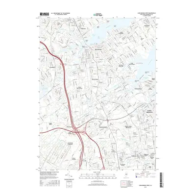
2016 Map of Long Branch West
USGS Topo · Published 2016About this map
Red Bank and the surrounding coastal communities sit at the junction of the Navesink River and the Shrewsbury River, defining the character of this Monmouth County landscape. The map illustrates the intensive suburban development of the early 21st century, where historic boroughs like Fair Haven and Little Silver are linked by a dense network of residential streets and arterial roads such as Co Rd 520.
Find a feature on this map
73 named features on this map. Tap any name to fly to it.
Don’t see what you’re looking for? This feature index may not catch every label — zoom into the map to look around manually.
Map Details
Editions of this 2016 Long Branch West Map
This is the sole edition of this map. No revisions or reprints were ever made.
Other maps of this area

1888 · Asbury Park
USGS Topo · 1:62,500

1888 · Sandy Hook
USGS Topo · 1:62,500

1893 · Sandy Hook
USGS Topo · 1:62,500

1893 · Asbury Park
USGS Topo · 1:62,500

1901 · Sandy Hook
USGS Topo · 1:62,500

1901 · Asbury Park
USGS Topo · 1:62,500

1902 · Navesink
USGS Topo · 1:125,000

1918 · Sandy Hook
USGS Topo · 1:62,500

1919 · Asbury Park
USGS Topo · 1:62,500

1942 · Farmingdale
USGS Topo · 1:24,000