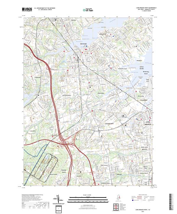
2023 Map of Long Branch West
USGS Topo · Published 2023About this map
The Navesink River and Shrewsbury River define the intricate landscape of Monmouth County, where established boroughs meet the evolving suburban corridors of coastal New Jersey. This modern topographic record highlights the complex relationship between dense residential settlements like Red Bank and Long Branch and the historic water features that shaped them, including Blossom Cove, Fair Haven Reach, and Blackberry Bay. The map provides significant detail for genealogists, documenting numerous burial grounds such as the Quaker Cem and Woodbine Cem and Mausoleum, alongside the grounds of Monmouth University.
Find a feature on this map
79 named features on this map. Tap any name to fly to it.
Don’t see what you’re looking for? This feature index may not catch every label — zoom into the map to look around manually.
Map Details
Editions of this 2023 Long Branch West Map
This is the sole edition of this map. No revisions or reprints were ever made.
Other maps of this area

1888 · Asbury Park
USGS Topo · 1:62,500

1888 · Sandy Hook
USGS Topo · 1:62,500

1893 · Sandy Hook
USGS Topo · 1:62,500

1893 · Asbury Park
USGS Topo · 1:62,500

1901 · Sandy Hook
USGS Topo · 1:62,500

1901 · Asbury Park
USGS Topo · 1:62,500

1902 · Navesink
USGS Topo · 1:125,000

1918 · Sandy Hook
USGS Topo · 1:62,500

1919 · Asbury Park
USGS Topo · 1:62,500

1942 · Farmingdale
USGS Topo · 1:24,000