Loading...
Loading map...2022 Map of Luck
USGS Topo · Published 2022About this map
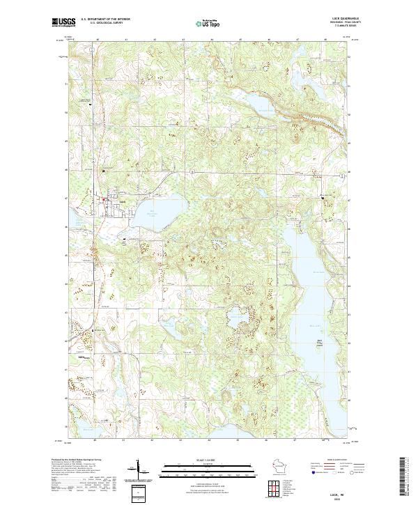
Glacial geography dominates the landscape around Luck and Milltown in this contemporary Polk County survey. The area is defined by a dense cluster of kettle lakes and drainage systems, most notably the expansive Bone Lake to the east and the central Big Butternut Lake. The Ice Age National Scenic Trail winds through the northern and western sections of the quadrangle, following the undulating terrain of the glacial moraine past Straight Lake and the S Br Trade River.
Find a feature on this map
64 named features on this map. Tap any name to fly to it.
Don’t see what you’re looking for? This feature index may not catch every label — zoom into the map to look around manually.
Map Details
Date Portrayed2022
Date Published2022
PublisherU.S. Geological Survey
Map TypeTopographic
Scale1:24000
Physical Dimensions24 x 29 inches
Editions of this 2022 Luck Map
This is the sole edition of this map. No revisions or reprints were ever made.
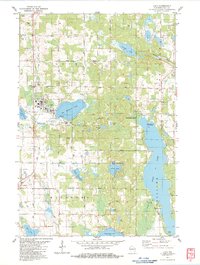
Historical Maps of Milltown Through Time
2 maps found
Featured Locations
Source Details
SourceU.S. Geological Survey
CopyrightPublic Domain