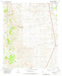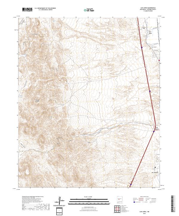
2023 Map of Luis Lopez
USGS Topo · Published 2023About this map
Chupadera Mountains dominate the western landscape of this Socorro County region, where the terrain drops sharply toward the Rio Grande valley floor. The eastern edge of the quadrangle follows the transit corridor where the settlement of Luis Lopez and the Luis Lopez Cem sit near the base of the foothills. Further south, the map details the proximity of San Antonio and the smaller enclave of San Antonito, which is served by its own San Antonito Cem. The geography is defined by numerous drainage systems, including Walnut Creek, Nogal Canyon, and Madera Canyon, which carve through the high ground. Local water management is evident through features like Montoya Tank and Miera Tank, while Chupadera Spring provides a rare natural water source near Gramont Peak in the northwest, illustrating the essential relationship between elevation and water in this arid environment.
Find a feature on this map
27 named features on this map. Tap any name to fly to it.
Don’t see what you’re looking for? This feature index may not catch every label — zoom into the map to look around manually.
Map Details
Editions of this 2023 Luis Lopez Map
This is the sole edition of this map. No revisions or reprints were ever made.